Earth & Ocean Screensavers
The planet's living and geological systems, live: verified wildlife sightings, real-time earthquakes and volcanic activity, open wildfires and ocean temperature. Free and fullscreen in your browser.
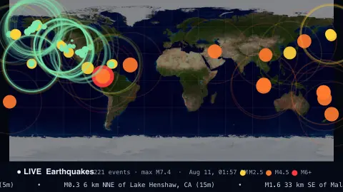
Live EarthquakesThe planet, shaking in real time.
Open →
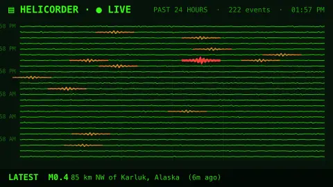
SeismographEarth’s tremors on a drum.
Open →
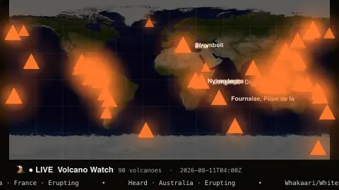
Volcano WatchThe world’s active volcanoes.
Open →
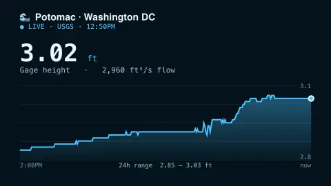
River WatchLive river levels and flow.
Open →
Natural EventsEarth's natural events, live.
Open →
Shark TrackerRecent verified shark sightings, world map.
Open →
Bird Migration MapLive migratory bird sightings, world map.
Open →
Whale WatchRecent verified whale sightings, world map.
Open →
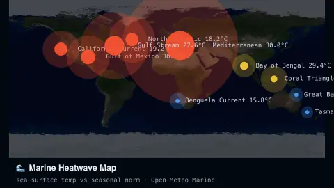
Marine Heatwave MapLive sea-surface temperature vs normal, world map.
Open →
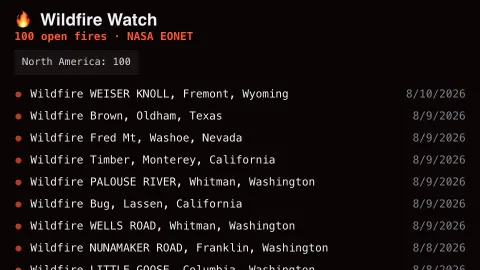
Wildfire WatchLive active wildfires, worldwide list.
Open →
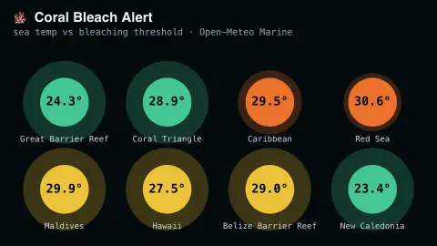
Coral Bleach AlertLive sea temperature vs bleaching thresholds.
Open →
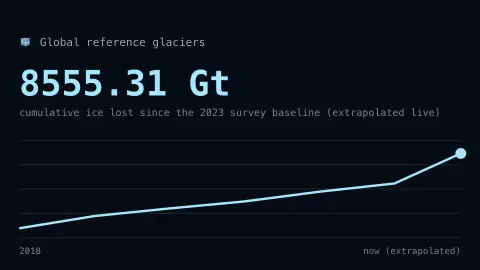
Glacier WatchReal glacier mass loss, extrapolated live.
Open →
Species Discovery FeedLive feed of newly described species.
Open →
World Fish Catch TrackerReal global fisheries catch data.
Open →
Endangered Species Red List TrackerReal IUCN Red List conservation status counts, by group.
Open →
Deforestation WatchReal ranked annual tree cover loss, by country.
Open →
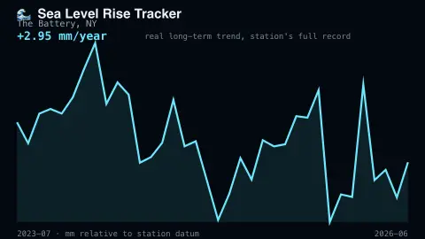
Sea Level Rise TrackerReal live sea level trend from a NOAA tide gauge.
Open →
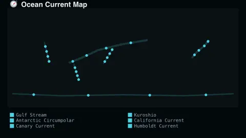
Ocean Current MapThe world's major ocean currents, mapped and animated.
Open →
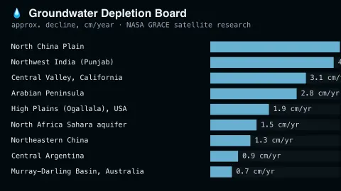
Groundwater Depletion BoardReal ranked groundwater decline by region, from satellite data.
Open →
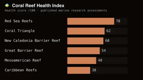
Coral Reef Health IndexReal ranked reef health scores by major world reef system.
Open →
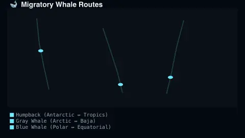
Migratory Whale RoutesThe world's major real whale migration routes, mapped.
Open →
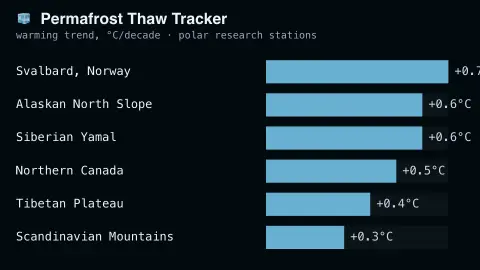
Permafrost Thaw TrackerReal ranked permafrost temperature trends by Arctic region.
Open →
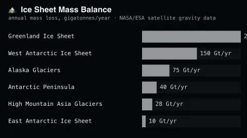
Ice Sheet Mass BalanceReal ranked ice-sheet mass loss, from satellite gravity data.
Open →
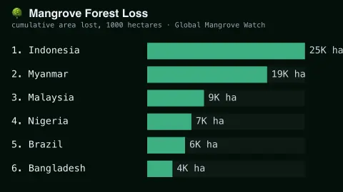
Mangrove Forest Loss BoardReal ranked mangrove forest loss by country.
Open →
Live Bird SightingsReal bird sightings, streaming from eBird.
Open →
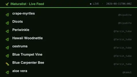
iNaturalist Live FeedReal citizen-science sightings, all species.
Open →
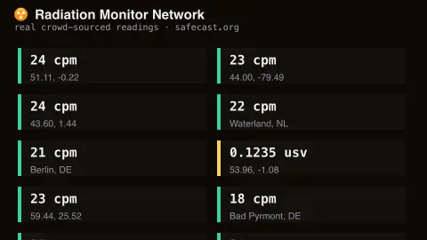
Radiation Monitor NetworkReal background radiation, crowd-sourced.
Open →
GBIF Species Occurrence FeedReal biodiversity records, aggregated worldwide.
Open →
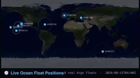
Live Ocean Float PositionsReal drifting ocean sensors, mapped.
Open →
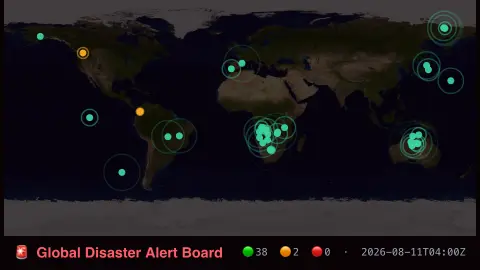
Global Disaster Alert BoardReal multi-hazard alerts, mapped.
Open →
Global Fishing Activity TrackerReal satellite-detected fishing activity.
Open →
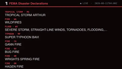
FEMA Disaster Declarations FeedReal US federal disaster declarations.
Open →
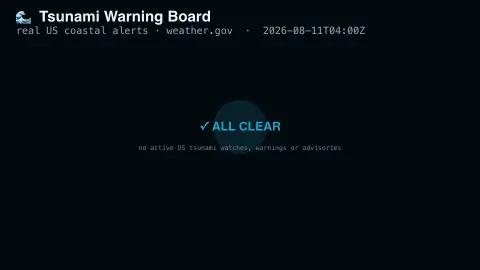
Tsunami Warning BoardReal active US tsunami alerts.
Open →
Reservoir LevelsHow full the West's great reservoirs really are.
Open →
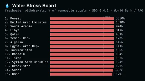
Water Stress BoardReal water stress by country, colour-coded by severity.
Open →
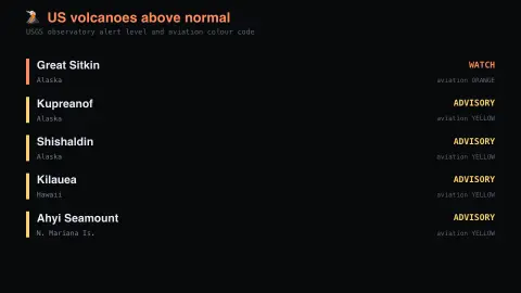
Volcano Alert LevelsWhich volcanoes are above normal.
Open →
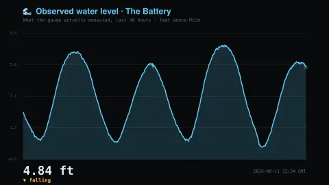
Observed Water LevelThe tide that actually turned up.
Open →
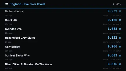
UK River LevelsLive gauges across England.
Open →
UK Flood WarningsUsually empty, and that's the point.
Open →
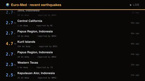
Euro-Med EarthquakesEurope's own seismic network.
Open →
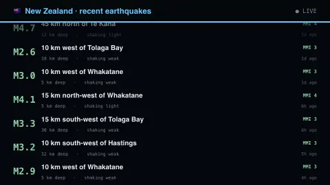
New Zealand EarthquakesMagnitude is not the whole story.
Open →
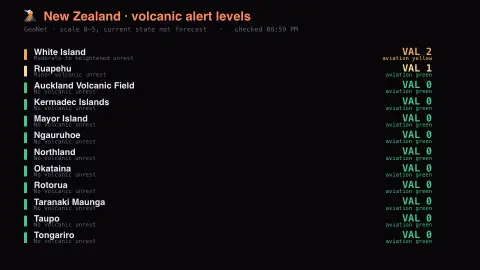
NZ Volcanic Alert LevelsMostly zero, and that is the point.
Open →
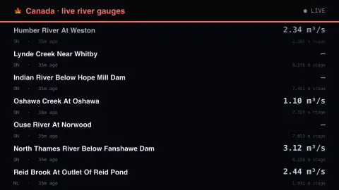
Canadian River LevelsThe third national river network.
Open →
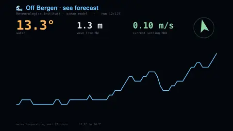
Norwegian Sea ForecastWhere the current is setting.
Open →
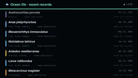
Ocean Life Records223 million records, mostly wet.
Open →
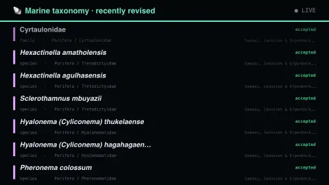
Marine Taxonomy RevisedNot new species — renamed ones.
Open →
True North Is Not Magnetic NorthAnd the gap moves every year.
Open →
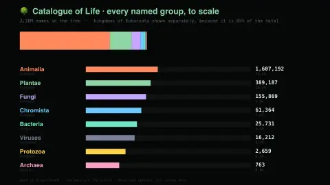
All Known Life, To ScaleDescribed species, not living ones.
Open →
Italy Is Always MovingMostly too small to feel.
Open →
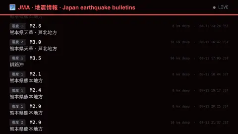
Japan, ShakingShindo, not magnitude, is the number.
Open →
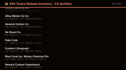
Who Reports Releasing ChemicalsThe register, not the ranking.
Open →
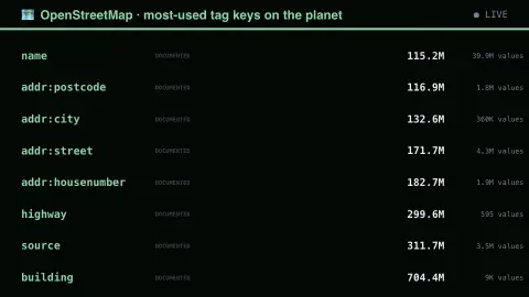
What The World Bothered To MapBuildings win by a hundred million.
Open →
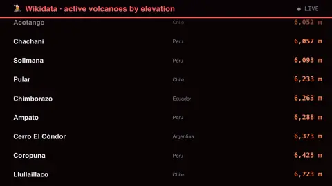
Every Volcano Wikidata KnowsLive SPARQL, kept deliberately cheap.
Open →
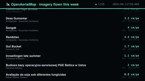
Two Centimetres Per PixelFlown by someone, this week.
Open →
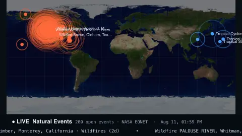
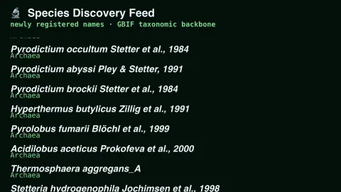
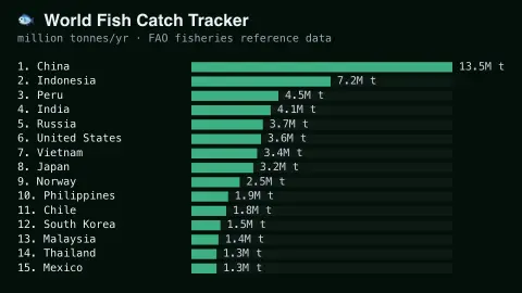
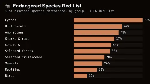
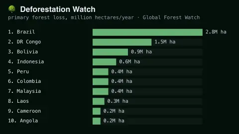
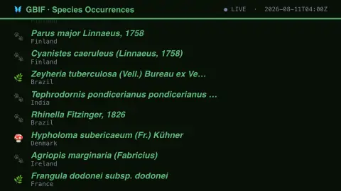
Wildlife savers plot real, verified occurrence records from GBIF, the global biodiversity data network. Geological ones read straight from USGS and the Smithsonian's volcano program. Nothing here is simulated — sparse periods reflect genuinely sparse real activity.
Frequently asked questions
- Are the wildlife sightings real?
- Yes — they're verified occurrence records from GBIF, not simulated positions.
- Is this live earthquake and volcano data official?
- Yes — it comes from USGS and the Smithsonian Global Volcanism Program, the sources researchers themselves use.
- Is a key needed?
- No — every saver here uses free, key-less public data.
- Is it free?
- Yes — free, no download, in your browser.